Facilities
  OHVs
OHVs Terrain
 Signage
 Emergencies Facilities
 With Blanding as a base camp, there are: 6 motels, a handful of Airbnb stops, 2 RV parks, a campground, 8 dining options, 2 Grocery stores and 4 Gas Stations. Additional amenities can found down the road 26 miles in Bluff.
OHVsThis trail is open to all types of off road vehicles. They should all be high clearance to get over the rocky section of road with a respectable drop off.
TerrainSome Sand, slick rock and compacted desert dirt.
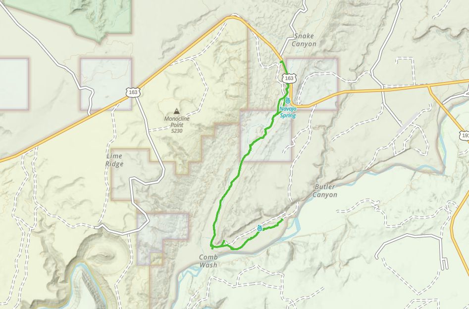
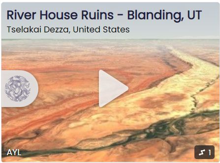
SignageWhile there are not many route marker signs there are few options along the route to get very lost. There are interpretive signs at Navajo Springs and at the River House Ruins.
EmergenciesClosest Medical Facilities Blue Mountain Hospital (435) 678-3993
Utah Highway Patrol Dial 9-1-1
Bureau of Land Management: (435) 587-1500
San Juan County Sheriff: (435) 587-2237
Utah Highway Patrol Dial 9-1-1
Bureau of Land Management: (435) 587-1500
San Juan County Sheriff: (435) 587-2237
With Blanding as a base camp, there are: 6 motels, a handful of Airbnb stops, 2 RV parks, a campground, 8 dining options, 2 Grocery stores and 4 Gas Stations. Additional amenities can found down the road 26 miles in Bluff.
This trail is open to all types of off road vehicles. They should all be high clearance to get over the rocky section of road with a respectable drop off.
Some Sand, slick rock and compacted desert dirt.
While there are not many route marker signs there are few options along the route to get very lost. There are interpretive signs at Navajo Springs and at the River House Ruins.
Closest Medical Facilities Blue Mountain Hospital (435) 678-3993
Utah Highway Patrol Dial 9-1-1
Bureau of Land Management: (435) 587-1500
San Juan County Sheriff: (435) 587-2237
Utah Highway Patrol Dial 9-1-1
Bureau of Land Management: (435) 587-1500
San Juan County Sheriff: (435) 587-2237