Facilities
  OHVs
OHVs Terrain
 Signage
 Emergencies Facilities
 Marysvale has gas, groceries, and great Pizza among the several small seasonal restaurants.
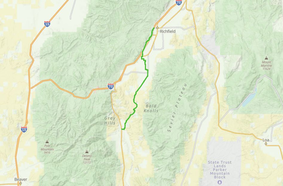
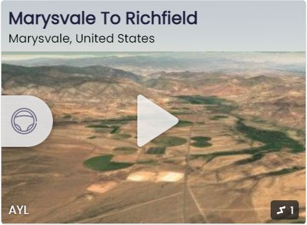
This trail will take you through Monroe, Elsinore and into Richfield. All of these towns have Gas and Groceries.
This trail will take you through Monroe, Elsinore and into Richfield. All of these towns have Gas and Groceries.
OHVsAnything goes.
TerrainThis is mostly fast well maintained gravel roads.
SignageIts hard to get lost, there are lots of signs.
EmergenciesClosest medical facilities Sevier Valley Hospital, Richfield: (435) 893-4100
Utah Highway Patrol or other Emergencies: Dial 9-1-1.
Fishlake National Forest Contact: (435) 896-9233.
Sevier County Sheriff: (435) 896-2660.
Piute County Sheriff: (435) 577-2893
We highly recommend you purchase a Utah Search and Rescue Assistant Card (USARA), learn more: utah.gov/rescue.
Utah Highway Patrol or other Emergencies: Dial 9-1-1.
Fishlake National Forest Contact: (435) 896-9233.
Sevier County Sheriff: (435) 896-2660.
Piute County Sheriff: (435) 577-2893
We highly recommend you purchase a Utah Search and Rescue Assistant Card (USARA), learn more: utah.gov/rescue.
Marysvale has gas, groceries, and great Pizza among the several small seasonal restaurants.
This trail will take you through Monroe, Elsinore and into Richfield. All of these towns have Gas and Groceries.
This trail will take you through Monroe, Elsinore and into Richfield. All of these towns have Gas and Groceries.
Anything goes.
This is mostly fast well maintained gravel roads.
Its hard to get lost, there are lots of signs.
Closest medical facilities Sevier Valley Hospital, Richfield: (435) 893-4100
Utah Highway Patrol or other Emergencies: Dial 9-1-1.
Fishlake National Forest Contact: (435) 896-9233.
Sevier County Sheriff: (435) 896-2660.
Piute County Sheriff: (435) 577-2893
We highly recommend you purchase a Utah Search and Rescue Assistant Card (USARA), learn more: utah.gov/rescue.
Utah Highway Patrol or other Emergencies: Dial 9-1-1.
Fishlake National Forest Contact: (435) 896-9233.
Sevier County Sheriff: (435) 896-2660.
Piute County Sheriff: (435) 577-2893
We highly recommend you purchase a Utah Search and Rescue Assistant Card (USARA), learn more: utah.gov/rescue.