Facilities
  OHVs
OHVs Terrain
 Signage
 Emergencies Facilities
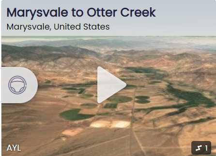
 Food and supplies at Otter Creek Reservoir. Fuel, food and lodging in Marysvale.
OHVsAll sizes. No width limits. ATVs, MCs, UTVs, 4x4s on most trails.
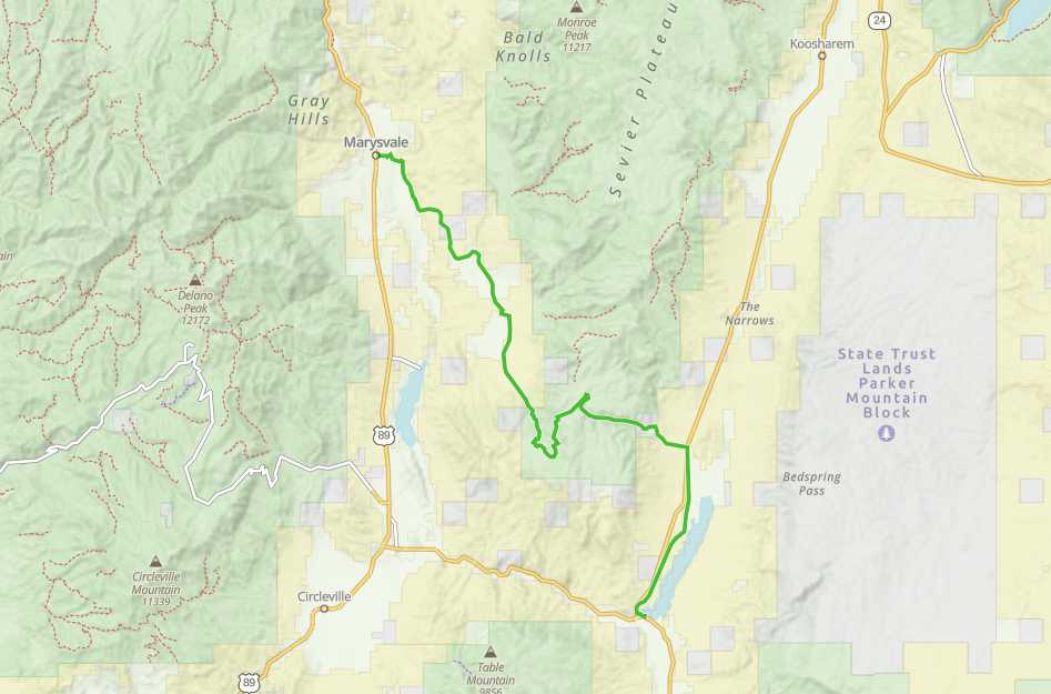
TerrainMostly graded county roads.
SignageThe main routes have adequate signage.
EmergenciesSevier Valley Medical Center (Intermountain Healthcare), 1000 North Main Street, Richfield, UT 84701 (435) 893-4100
Sevier County Sheriff: Dial 9-1-1 or (435) 896-2600; Utah Highway Patrol – Richfield: Dial 9-1-1 or (435) 896-2780.
We highly recommend you purchase a Utah Search and Rescue Assistant Card (USARA), learn more: utah.gov/rescue
Sevier County Sheriff: Dial 9-1-1 or (435) 896-2600; Utah Highway Patrol – Richfield: Dial 9-1-1 or (435) 896-2780.
We highly recommend you purchase a Utah Search and Rescue Assistant Card (USARA), learn more: utah.gov/rescue
Food and supplies at Otter Creek Reservoir. Fuel, food and lodging in Marysvale.
All sizes. No width limits. ATVs, MCs, UTVs, 4x4s on most trails.
Mostly graded county roads.
The main routes have adequate signage.
Sevier Valley Medical Center (Intermountain Healthcare), 1000 North Main Street, Richfield, UT 84701 (435) 893-4100
Sevier County Sheriff: Dial 9-1-1 or (435) 896-2600; Utah Highway Patrol – Richfield: Dial 9-1-1 or (435) 896-2780.
We highly recommend you purchase a Utah Search and Rescue Assistant Card (USARA), learn more: utah.gov/rescue
Sevier County Sheriff: Dial 9-1-1 or (435) 896-2600; Utah Highway Patrol – Richfield: Dial 9-1-1 or (435) 896-2780.
We highly recommend you purchase a Utah Search and Rescue Assistant Card (USARA), learn more: utah.gov/rescue