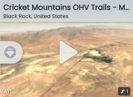
Facilities
  OHVs
OHVs Terrain
 Signage
 Emergencies Facilities
 None.
You may choose to visit Milford (south) or Delta (north) for: Food, Auto repair and Hotels.
You may choose to visit Milford (south) or Delta (north) for: Food, Auto repair and Hotels.
OHVsAll sizes. No width limits. ATV’s, MC’s, UTV’s, 4x4s
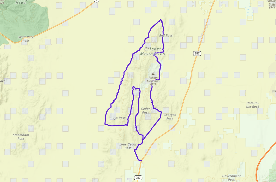
TerrainEasy-Mostly dirt roads.
SignageMost Trails have adequate signage.
Maps available in Delta at the Millard County Tourism office 75W Main.
Maps available in Delta at the Millard County Tourism office 75W Main.
EmergenciesBoth Delta and Milford have Hospitals. Using HWY 257 the closest to you may depend on where you are on (north or south) on the Cricket Mountains. Dial 911 for Emergencies.
Millard County Sheriff Dial 911 or (435) 864-2755 or (435) 743-6223
Utah Highway Patrol (435) 743-6653
BLM Office in Fillmore (435)743-3123
Millard County Sheriff Dial 911 or (435) 864-2755 or (435) 743-6223
Utah Highway Patrol (435) 743-6653
BLM Office in Fillmore (435)743-3123
None.
You may choose to visit Milford (south) or Delta (north) for: Food, Auto repair and Hotels.
You may choose to visit Milford (south) or Delta (north) for: Food, Auto repair and Hotels.
All sizes. No width limits. ATV’s, MC’s, UTV’s, 4x4s
Easy-Mostly dirt roads.
Most Trails have adequate signage.
Maps available in Delta at the Millard County Tourism office 75W Main.
Maps available in Delta at the Millard County Tourism office 75W Main.
Both Delta and Milford have Hospitals. Using HWY 257 the closest to you may depend on where you are on (north or south) on the Cricket Mountains. Dial 911 for Emergencies.
Millard County Sheriff Dial 911 or (435) 864-2755 or (435) 743-6223
Utah Highway Patrol (435) 743-6653
BLM Office in Fillmore (435)743-3123
Millard County Sheriff Dial 911 or (435) 864-2755 or (435) 743-6223
Utah Highway Patrol (435) 743-6653
BLM Office in Fillmore (435)743-3123