Facilities
  OHVs
OHVs Terrain
 Signage
 Emergencies Facilities
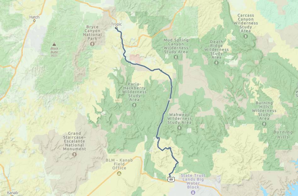
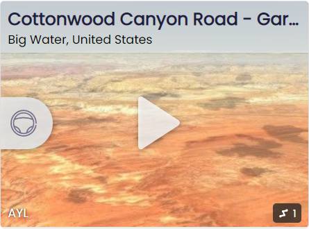
 There are a variety of options for lodging, camping, restaurants, fuel and groceries in Kanab, 47 miles from the trailhead. There are no services along the Cottonwood Road. Tropic has lodging, food and supplies at the end of your ride.
OHVsNo width limits. ATVs, MCs, UTVs, 4x4s on most trails.
TerrainMaintained county roads can become impassable in inclement weather.
SignageThe main routes have adequate signage.
EmergenciesGarfield Memorial Hospital 200 N 400 E Panguitch UT 84759 435-676-8811 or the Kane County Hospital 355 N. Main, Kanab, UT 84741 EMERGENCY Dial 9-1-1
Sheriff: Kane County Sheriff: Dial 9-1-1 for emergencies or Non-Emergency Dispatch: (435) 644-2349 Garfield County Sheriff: Dial 9-1-1 for emergencies or Non-Emergency (435) 676-2678 We highly recommend you purchase a Utah Search and Rescue Assistant Card (USARA)
Sheriff: Kane County Sheriff: Dial 9-1-1 for emergencies or Non-Emergency Dispatch: (435) 644-2349 Garfield County Sheriff: Dial 9-1-1 for emergencies or Non-Emergency (435) 676-2678 We highly recommend you purchase a Utah Search and Rescue Assistant Card (USARA)
There are a variety of options for lodging, camping, restaurants, fuel and groceries in Kanab, 47 miles from the trailhead. There are no services along the Cottonwood Road. Tropic has lodging, food and supplies at the end of your ride.
No width limits. ATVs, MCs, UTVs, 4x4s on most trails.
Maintained county roads can become impassable in inclement weather.
The main routes have adequate signage.
Garfield Memorial Hospital 200 N 400 E Panguitch UT 84759 435-676-8811 or the Kane County Hospital 355 N. Main, Kanab, UT 84741 EMERGENCY Dial 9-1-1
Sheriff: Kane County Sheriff: Dial 9-1-1 for emergencies or Non-Emergency Dispatch: (435) 644-2349 Garfield County Sheriff: Dial 9-1-1 for emergencies or Non-Emergency (435) 676-2678 We highly recommend you purchase a Utah Search and Rescue Assistant Card (USARA)
Sheriff: Kane County Sheriff: Dial 9-1-1 for emergencies or Non-Emergency Dispatch: (435) 644-2349 Garfield County Sheriff: Dial 9-1-1 for emergencies or Non-Emergency (435) 676-2678 We highly recommend you purchase a Utah Search and Rescue Assistant Card (USARA)