Facilities
  OHVs
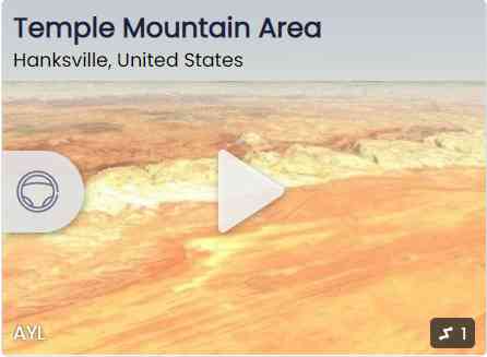
OHVs Terrain
 Signage
 Emergencies Facilities
 Plenty of amenities as you drive through St. George and Santa Clara.
OHVs All sizes. No width limits. ATVs, MCs, UTVs, 4x4s on most trails.
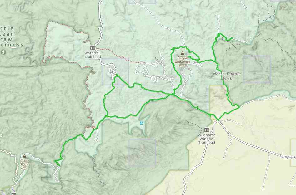
TerrainThis trail is 31 miles of rocky trails, sandy washes and beautiful mountain views.
SignageMost trails have adequate signage
EmergenciesThe closest medical help is 585 Main St, Green River, UT 84525. Dial 911 for Emergencies or (435) 564-3434. Dial 9-1-1 for emergencies.
If a hospital is required, Castle View Hospital is in Price. 300 North Hospital Drive, Price, UT 84501. Open 24 hours (435) 637-4800
Emery County Sheriff: (435) 381-2404. Dial 9-1-1 for emergencies.
Utah Highway Patrol: Dial 9-1-1
BLM Office in Price: (435) 636-3600
If a hospital is required, Castle View Hospital is in Price. 300 North Hospital Drive, Price, UT 84501. Open 24 hours (435) 637-4800
Emery County Sheriff: (435) 381-2404. Dial 9-1-1 for emergencies.
Utah Highway Patrol: Dial 9-1-1
BLM Office in Price: (435) 636-3600
Plenty of amenities as you drive through St. George and Santa Clara.
All sizes. No width limits. ATVs, MCs, UTVs, 4x4s on most trails.
This trail is 31 miles of rocky trails, sandy washes and beautiful mountain views.
Most trails have adequate signage
The closest medical help is 585 Main St, Green River, UT 84525. Dial 911 for Emergencies or (435) 564-3434. Dial 9-1-1 for emergencies.
If a hospital is required, Castle View Hospital is in Price. 300 North Hospital Drive, Price, UT 84501. Open 24 hours (435) 637-4800
Emery County Sheriff: (435) 381-2404. Dial 9-1-1 for emergencies.
Utah Highway Patrol: Dial 9-1-1
BLM Office in Price: (435) 636-3600
If a hospital is required, Castle View Hospital is in Price. 300 North Hospital Drive, Price, UT 84501. Open 24 hours (435) 637-4800
Emery County Sheriff: (435) 381-2404. Dial 9-1-1 for emergencies.
Utah Highway Patrol: Dial 9-1-1
BLM Office in Price: (435) 636-3600