Maple Creek
- Sanpete county - Freedom
Menu
Trail information
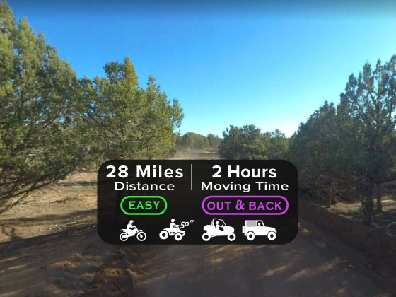
Easy
Out & Back
No width limit
Dirt Trail
gravel road
Single Track
50" Vehicle
S x S
Full Size
Moving Time
0
hrs
Avg Speed
0
mph
Distance
0
mi
Lodging, restaurants, fuel and groceries are available in the town of Moroni or Ephraim.
Mostly well maintained dirt roads with some OHV trail-style riding.
Mostly well maintained dirt roads with some gravel areas.
signs at most intersections noting distance to landmarks and direction of travel.
Sanpete County Hospital: 1100 S Medical Dr, Mt Pleasant, UT 84647
Moroni Police Department: Dial 9-1-1 for emergencies or Non-Emergency Dispatch: 435-436-8911. We highly recommend you purchase a Utah Search and Rescue Assistant Card (USARA) learn more: utah.gov/rescue
Moroni Police Department: Dial 9-1-1 for emergencies or Non-Emergency Dispatch: 435-436-8911. We highly recommend you purchase a Utah Search and Rescue Assistant Card (USARA) learn more: utah.gov/rescue
- trail weather
Weather Forecast Info can´t be read at the moment!
- Description
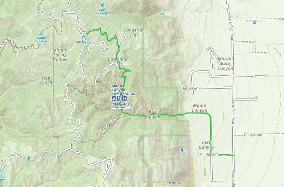
The Maple Creek Trail in Sanpete county is a beautiful, short ride through the mountains near the small town of Freedom, UT. This trail takes you about seven miles up the mountain past several hiking trailheads and campgrounds. We turned around near Joe Spring, but you can make it a longer trip and continue on all the way back near Fountain Green.
The terrain is mostly comprised of well maintained dirt roads.
This trail provides great opportunities to stop, get out and take in the views.
You can also find just about every amenity you need including gas, lodging and food in the town of Moroni or Ephraim.
The terrain is mostly comprised of well maintained dirt roads.
This trail provides great opportunities to stop, get out and take in the views.
You can also find just about every amenity you need including gas, lodging and food in the town of Moroni or Ephraim.
Maps
Trail Route

We recommend to download the GAIA App on your mobile device.
You can view and download the route from GAIA as well as see photos with their location geotagged on the trail.
360 Street View
Click “View 360 Map” to explore the trail in Google Street View and “See the Trail Before You Ride the Trail.”
Download Route
The GPX or KML files are available for you to download and use on your preferred app or device.
Key Points
Within our Key Points you will discover trail head parking, trail markers, points of interests, intersections as well as terrain and obstacles.
Click on the links below to reveal images and information
We start this ride in the small town of Freedom, near Moroni. You take a right here on Maple Canyon Road.
Stay straight here to head up toward Maple Canyon.
The majority of the trail is well-maintained dirt roads like this.
There are several trailheads for hikes throughout the canyon. This is the Box Canyon trailhead.
There is a campground here in the canyon if you want to make a weekend out of it. This is also a good spot to stop to use the restroom or have a picnic.
There is a lot of beautiful scenery and places to stop along this trail. As you can see the posted speed limit is 15 mph.
The road gets a bit more rough through here, though still very easy to ride on.
Stay straight here.
We ended this ride here next to Joe Spring. This is a great mountain ride, a perfect way to cool off during the summer months. You can continue on if you like.


