Facilities
  OHVs
OHVs Terrain
 Signage
 Emergencies Facilities
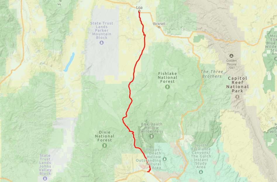
 Starting in Loa gives you plenty of options. We started at the city park a block West of main street. It’s okay to park alongside the the street and there is room for large rigs.
OHVsThe trail will accommodate any size vehicle.
TerrainWell maintained, fast gravel road the entire length.
SignageThere are many BLM and USFS signs along the way.
EmergenciesEmergencies dial 911.
Wayne County Sheriff (435) 836-1308
18 S Main St, Loa, UT 84747
Minor Medical
128 S. 300 W.
P.O. Box 303
Bicknell, UT 84715
P: (435) 425-3744 Option 1
F: (435) 425-3785
Monday-Friday 7:00AM-5:00PM
Saturday 9:00AM-1:00PM
Utah Highway Patrol
(Sanpete, Sevier, Piute, Western Wayne Counties) UHP Richfield
835 East 300 North Suite 600
Richfield, Utah 84701
Office: (435) 896-2780
Hours: Monday – Friday
8:00am to 5:00pm
Starting in Loa gives you plenty of options. We started at the city park a block West of main street. It’s okay to park alongside the the street and there is room for large rigs.
The trail will accommodate any size vehicle.
Well maintained, fast gravel road the entire length.
There are many BLM and USFS signs along the way.
Emergencies dial 911.
Wayne County Sheriff (435) 836-1308
18 S Main St, Loa, UT 84747
Minor Medical
128 S. 300 W.
P.O. Box 303
Bicknell, UT 84715
P: (435) 425-3744 Option 1
F: (435) 425-3785
Monday-Friday 7:00AM-5:00PM
Saturday 9:00AM-1:00PM
Utah Highway Patrol
(Sanpete, Sevier, Piute, Western Wayne Counties) UHP Richfield
835 East 300 North Suite 600
Richfield, Utah 84701
Office: (435) 896-2780
Hours: Monday – Friday
8:00am to 5:00pm